AI Tools for Soil Erosion Control
Explore how AI tools are revolutionizing soil erosion control with real-time monitoring, mapping, and tailored strategies for effective land management.
By Alfred van der Heide, Founder, AIGardenPlanner. Editorially reviewed for practical garden-planning accuracy.
AI is transforming soil erosion control, offering smarter ways to protect soil and improve land management. From monitoring soil health to designing erosion-resistant landscapes, AI tools provide actionable insights that help farmers, city planners, and gardeners prevent erosion effectively. Here's what you need to know:
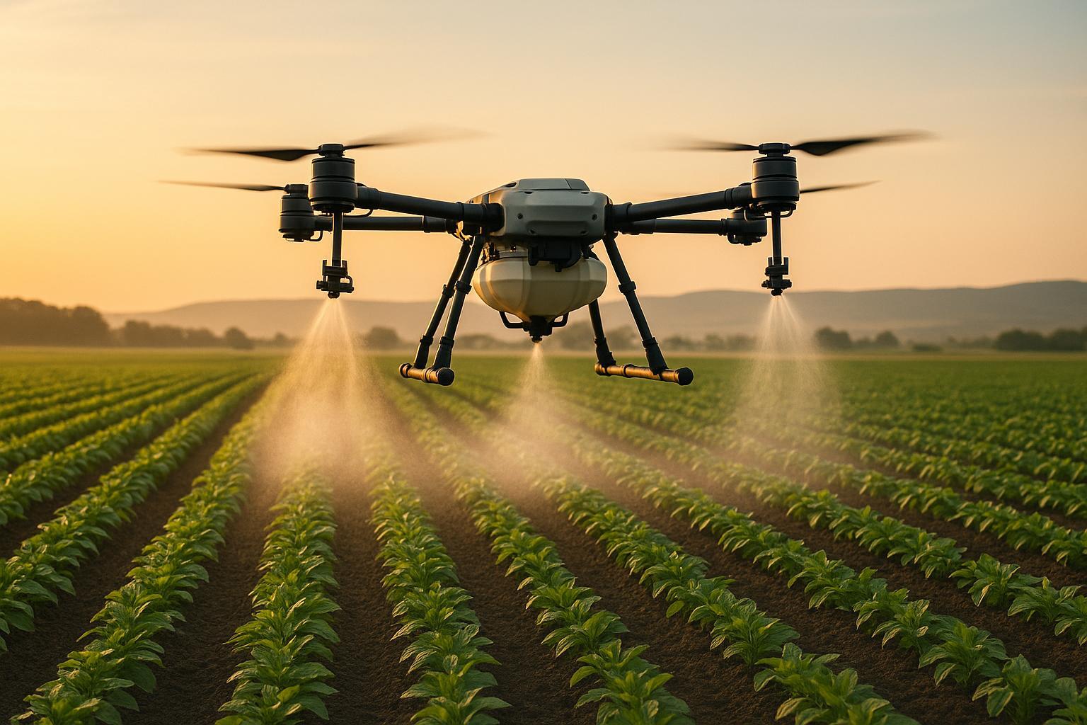
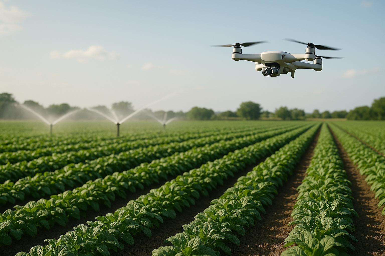
- Real-time monitoring: AI-powered sensors track soil moisture, slope stability, and rainfall to predict erosion risks early.
- Soil mapping: Tools like SoilOptix create detailed maps showing soil texture, nutrients, and moisture to identify vulnerable areas.
- Satellite analysis: Systems like SWAT VEXA use satellite imagery and AI to assess erosion risks and recommend solutions.
- Custom strategies: AI suggests plant placement, water management, and terrain adjustments tailored to specific conditions.
These tools have led to measurable benefits, like up to 30% reductions in water use and 25% increases in crop yields. Whether you're managing a farm, urban park, or home garden, AI makes erosion control smarter and more effective.
AI Soil Erosion Predictor 🌱💧 #Erosion #Prediction PART 1

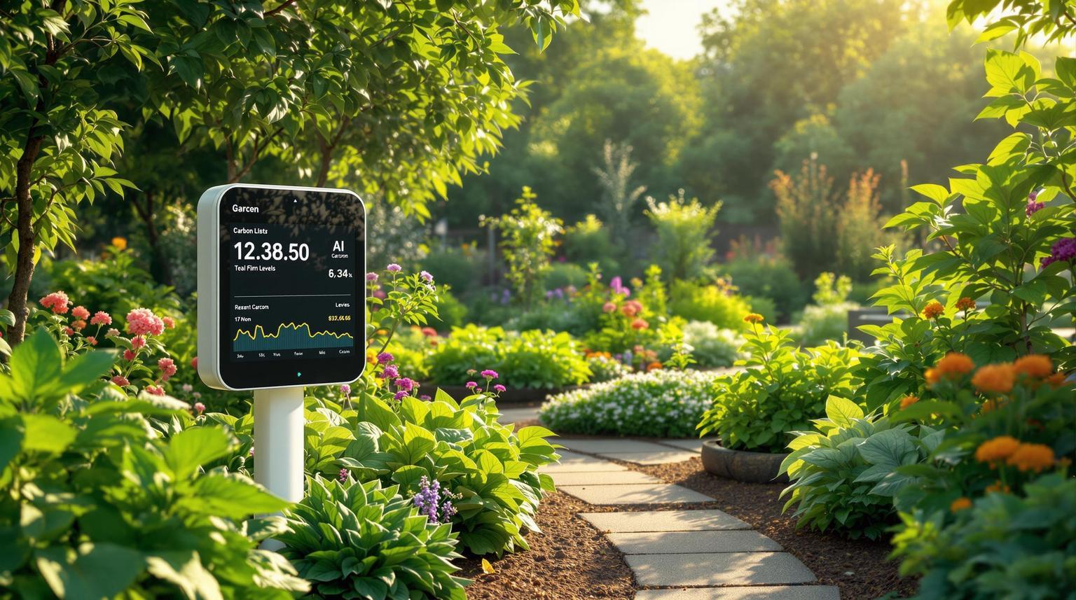
Soil Monitoring Tools Using AI
AI-powered soil monitoring tools are changing the way soil erosion is detected and prevented across the United States. By combining real-time data collection with advanced analytics, these tools offer a deeper understanding of soil health and erosion risks.
Detailed Soil Mapping Systems
AI algorithms are now capable of creating highly accurate soil profiles. For instance, SoilOptix produces high-resolution maps that reveal details like soil texture, nutrient distribution, and moisture content. These insights make it possible to pinpoint erosion-prone areas before visible damage occurs.
Here’s how the mapping process works:
- Continuous sensor analysis to gather real-time data
- Data processing of key metrics like pH levels, nutrients, and organic matter
- AI-driven recommendations to guide specific soil treatments
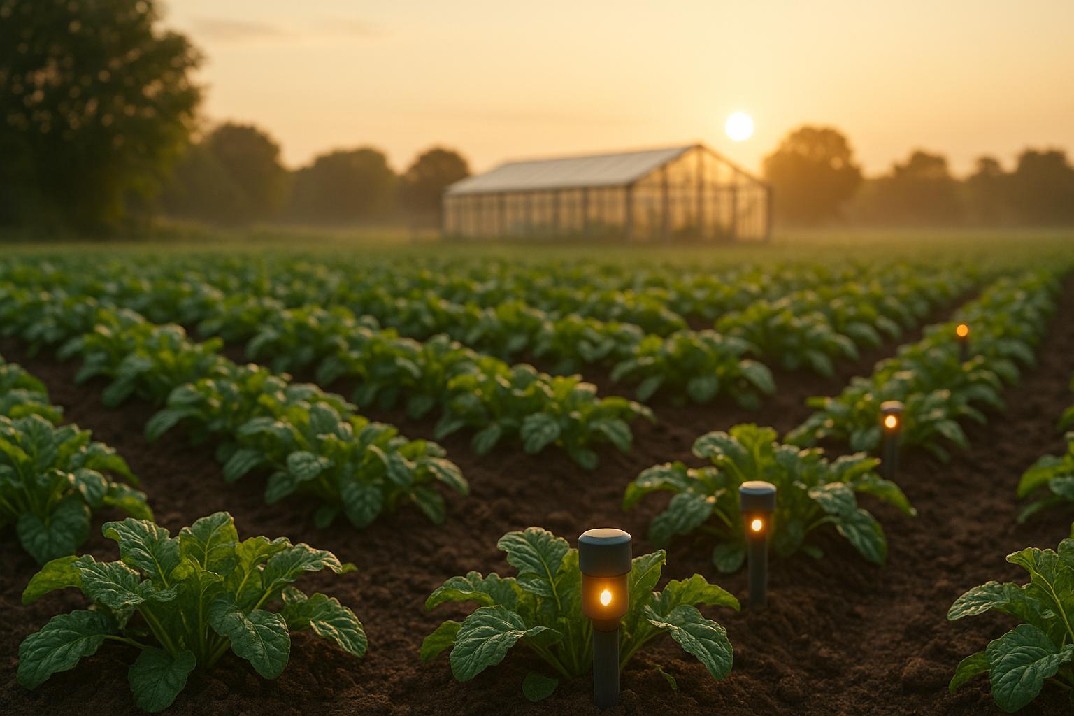
Live Erosion Alert Systems
IoT sensor networks embedded in the ground act as early warning systems, flagging potential erosion risks. These networks monitor critical parameters, such as:
| Parameter | What It Measures | Why It Matters |
|---|---|---|
| Soil Moisture | Water content percentage | Helps avoid oversaturation |
| Slope Stability | Ground movement | Detects landslide risks |
| Rainfall Intensity | Precipitation levels | Predicts water erosion |
These systems have shown impressive results. For example, farms using AI soil analysis tools, like those managed by Green Fields Agronomy in California, have seen yield increases of up to 25%. When paired with detailed mapping, these alert systems provide real-time insights that enhance soil management strategies.
Satellite-Based Monitoring
Satellite technology, when combined with ground sensors, offers a complete view of soil conditions. A standout example is the Soil and Water Assessment Tool Virtual Extension Assistant (SWAT VEXA), launched in 2024 by Texas A&M AgriLife Research and IBM. This free, interactive tool uses satellite imagery to deliver tailored insights for erosion control.
"Address critical areas such as soil erosion and provide custom insights for pollution management, becoming the international and U.S. standard for agriculture and natural resources decision-making at all geographical scales."
SWAT VEXA’s AI algorithms analyze spectral data to detect subtle shifts in soil composition and surface coverage. This allows for early intervention in erosion-prone zones. As a result, AI-driven systems have helped reduce agricultural water usage by up to 30%.
Together, these tools form an integrated system that equips farmers and land managers with the data they need to make smarter decisions about soil conservation and erosion control. This interconnected framework is paving the way for more effective risk prevention strategies.
AI Models for Risk Prevention
AI models are reshaping the way we predict and prevent soil erosion by combining pattern recognition with advanced data analytics. These tools work together - pattern analysis pinpoints risk areas, while neural networks dive deeper to quantify soil properties.
Pattern Analysis with Machine Learning
Machine learning algorithms excel at unraveling complex erosion patterns by analyzing a variety of data sources. They look at historical erosion events, weather trends, terrain characteristics, and land use history to predict areas most at risk.
Here’s a quick look at some of the key parameters these systems evaluate:
| Parameter | Data Source | Risk Indicators |
|---|---|---|
| Weather Patterns | Satellite & Ground Stations | Rainfall intensity, drought cycles |
| Terrain Features | Topographical Mapping | Slope gradients, drainage patterns |
| Land Use History | Historical Records | Crop rotation impact, soil compaction |
| Soil Composition | Ground Sensors | Texture changes, organic matter levels |
While machine learning identifies these patterns, neural networks take it a step further by analyzing the finer details of soil properties.
Soil Analysis with Neural Networks
Neural networks specialize in evaluating soil stability by processing multiple factors simultaneously. They analyze soil structure, chemical makeup, and biological activity to assess erosion risks more precisely. In precision agriculture, AI-powered sensors track metrics like moisture levels, nutrient content, and pH, giving farmers actionable data to make informed decisions.
These systems have shown measurable benefits. For example, they monitor:
- Moisture content and particle cohesion to assess soil's ability to withstand erosion.
- Nutrient and pH distribution to ensure balanced soil health.
- Physical structure of soil aggregates and pore spaces to evaluate overall stability.
Farms leveraging these neural network insights have reported up to a 30% reduction in water usage, all while maintaining stronger soil structure and stability. By incorporating climate change projections, these systems can even predict future erosion trends, helping land managers stay ahead with proactive strategies.
🚀 Ready to Reinvent Your Garden?
Join thousands of homeowners who have transformed their gardens using our AI design tool. Upload one photo to explore endless possibilities.
Get your AI garden designs →Landscape Design Tools for Erosion Control
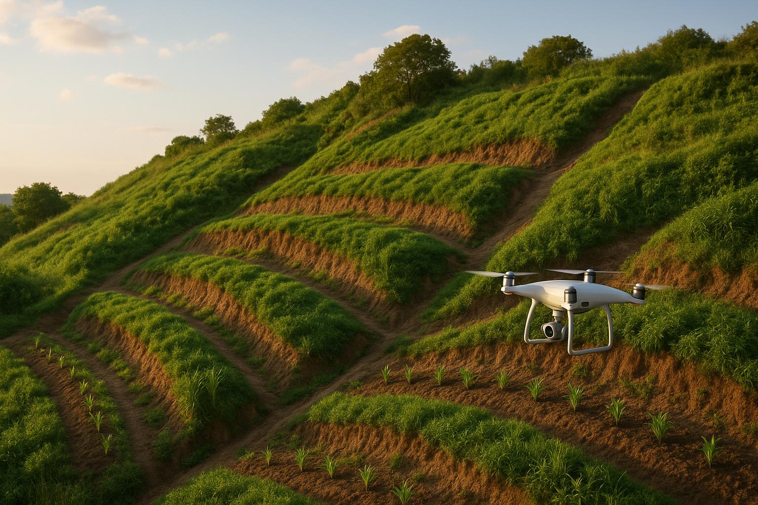
AI technology is transforming landscape design by weaving erosion control into every aspect of garden planning. These cutting-edge tools use terrain data and plant selection to create landscapes that naturally resist soil erosion. By combining topographical insights with climate data, AI-powered systems are reshaping how we approach sustainable garden and landscape design.
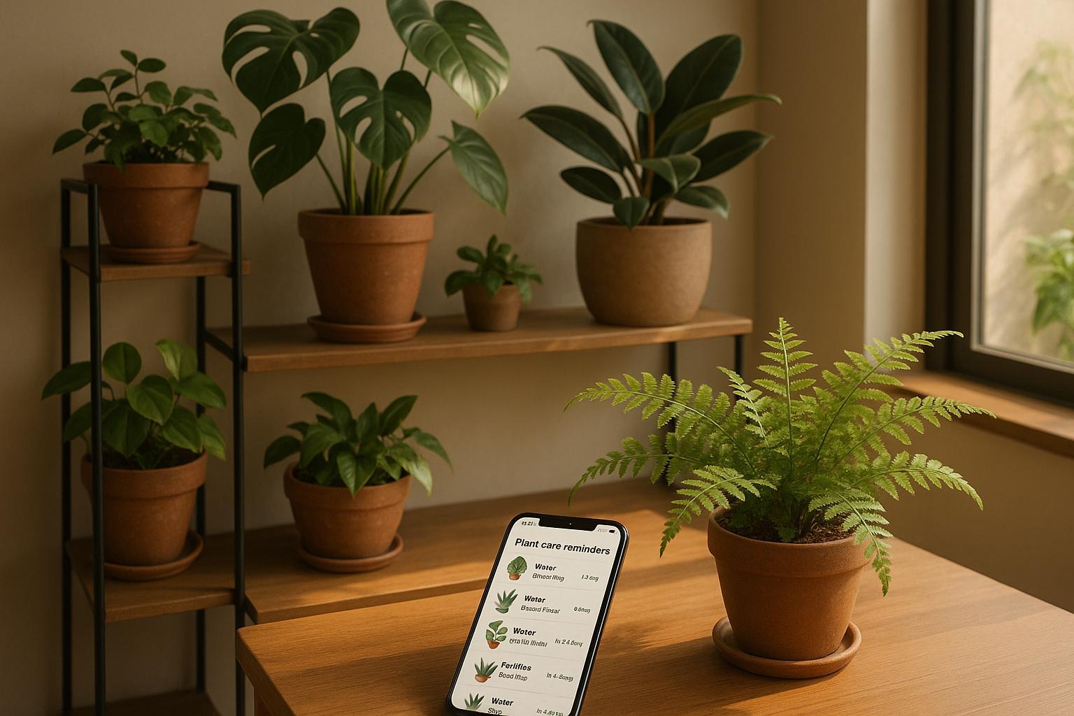
AIGardenPlanner's Erosion Prevention Features
AIGardenPlanner takes erosion control to the next level with its data-driven approach. By analyzing user-uploaded garden photos and local environmental conditions, the platform suggests designs tailored to minimize soil erosion. Its AI Plant Advisor focuses on key factors, such as:
| Feature | Erosion Control Benefit |
|---|---|
| Climate-Based Plant Selection | Recommends deep-rooted plants to stabilize soil |
| Terrain Analysis | Highlights slopes and potential water flow challenges |
| Location-Specific Design | Adjusts plans based on local rainfall patterns |
| Maintenance Planning | Offers schedules to preserve soil stability |
The platform also provides detailed growing guides to help users establish strong root systems and maintain healthy soil structure. For those tackling larger projects, the Professional plan ($21/month, billed annually) delivers commercial-grade tools, making it easier to manage complex landscapes. Beyond plant selection, the platform emphasizes water management as a critical element in erosion prevention.
Terrain and Water Management Planning
Modern AI tools excel at incorporating water management into landscape designs. They optimize water flow, guide plant placement, and design efficient drainage systems - all while factoring in soil type, slope angles, and regional precipitation patterns. This is especially crucial for steep terrains or areas prone to heavy rainfall.
For example, when planning a terraced garden, AI tools can calculate the ideal dimensions for each terrace based on slope analysis. They also determine suitable retaining wall specifications and recommend plants that thrive in specific soil conditions at each level.
These advanced tools not only pinpoint erosion risks but also actively design landscapes to counteract them, creating a seamless integration of technology and nature.
Results from AI Erosion Control Projects
Local Community Projects
AI-powered soil monitoring has made a noticeable impact on urban green spaces. Cities are leveraging tools like SWAT VEXA to manage erosion in both urban and nearby suburban areas. Municipal parks and other green spaces now benefit from detailed soil analysis models, which help city planners pinpoint high-risk zones. This allows for smarter decisions, such as where to enhance ground cover or improve stormwater management systems. The results? Less sediment runoff and better water quality in local streams and rivers. These urban improvements mirror the positive outcomes seen in agriculture.


Your garden could look like this!
Upload a photo and get professional garden design ideas in seconds.
Design your garden in 3D — free, no sign-upFarm Implementation Results
AI-driven soil management is also paying off for U.S. farms. For example, some farms have reported up to a 25% increase in crop yields, along with noticeable gains in soil organic matter and water retention. Take Sunny Acres in Texas, where real-time monitoring and predictive analytics have been game-changers. These tools have helped maintain soil health and cut down on erosion, even in areas with tough terrain.
AI systems evaluate key factors like soil pH, nutrient levels, organic content, moisture, and erosion risks to guide targeted interventions. According to analysts from The Farming Insider, the combination of AI soil analyzers and precision agriculture is reshaping conservation practices by enabling early detection and prevention.
These examples highlight how AI tools are making a difference in both urban and agricultural environments.
Next Steps in AI Erosion Control
Blockchain Soil Monitoring
Integrating blockchain with AI-driven soil monitoring brings a new level of transparency and security to managing soil health data. By maintaining tamper-proof records, blockchain ensures that data shared among stakeholders remains trustworthy and accessible. A great example is SWAT VEXA, a tool launched in 2024 by Texas A&M AgriLife Research and IBM. It uses AI to process years of research data, providing tailored recommendations for erosion control.
Blockchain offers several advantages for soil monitoring:
- Secure Documentation: Keeps records safe from tampering.
- Transparent Tracking: Ensures all stakeholders have access to the same data.
- Verifiable Compliance: Simplifies adherence to regulations.
- Improved Collaboration: Encourages teamwork among farmers, researchers, and policymakers.
This level of transparency allows for quicker corrective actions and lays the groundwork for automated systems that can respond to erosion risks in real time.
Automated Erosion Prevention Systems
Automation is taking erosion prevention to the next level by combining secure data logging with real-time monitoring. Using advanced sensor arrays, these systems track key metrics that directly impact soil health and erosion risks:
| Metric | Purpose | Impact on Prevention |
|---|---|---|
| Moisture Levels | Monitor water retention | Improve irrigation efficiency |
| Nutrient Content | Check soil health | Tailor fertilizer application |
| pH Levels | Analyze soil chemistry | Adjust treatments as needed |
| Weather Patterns | Predict erosion risks | Enable timely interventions |
These systems have already shown impressive results, such as reducing water usage by up to 30% while maintaining healthy soil conditions. When paired with remote sensing technology, they can identify early signs of soil degradation over vast areas.
Emerging technologies in this field are focusing on:
- Predictive Analytics: Using AI to forecast erosion risks based on past and present conditions.
- IoT Integration: Collecting real-time data from connected devices.
- Adaptive Responses: Adjusting strategies dynamically to changing conditions.
- Resource Optimization: Applying control measures with pinpoint accuracy.
Conclusion
AI technology has brought a new level of precision and efficiency to soil erosion control. With advanced tools offering real-time monitoring and predictive capabilities, protecting precious soil resources has become more achievable than ever.
One standout example is AIGardenPlanner, which brings AI into sustainable landscape design. This platform provides tailored plant recommendations based on location, performs terrain analysis, and offers water management strategies - all aimed at helping users create erosion-resistant landscapes. According to reports, it has saved users over 4 hours per design, showcasing its practicality and time-saving benefits.
Beyond improving landscape design, this approach delivers affordable solutions for a broad audience. For instance, landowners and professionals can get started with plans as low as $15, which include 15 AI-generated photos, making sustainable design more accessible. Additionally, the platform's AI Plant Advisor ensures that recommended plants are well-suited to local soil conditions and effective for erosion control.
As AI tools continue to advance, their potential to safeguard soil for future generations only grows. By embracing these cutting-edge technologies, we can take meaningful steps toward sustainable land management, building on earlier breakthroughs in monitoring and design. The impact of AI in this space is undeniable and continues to transform how we approach soil preservation.
🎨 Visualize Your Dream Garden Today!
Transform any outdoor space into a professional landscape design in minutes. Just upload a photo, choose your style, and let our AI do the rest.
Start your garden transformation now →FAQs
What do AI-powered sensors monitor to predict soil erosion risks?
AI-powered sensors are transforming how we predict soil erosion by analyzing critical environmental factors. These sensors keep track of soil moisture, rainfall intensity, slope gradients, and vegetation coverage to assess the likelihood of erosion in specific areas.
Using advanced algorithms, the collected data is processed to deliver precise forecasts and practical recommendations. By pinpointing high-risk zones early, these tools make it possible to take preventive actions that safeguard landscapes and preserve soil health efficiently.
How can AI-driven soil mapping tools like SoilOptix benefit farmers and urban planners?
AI-driven soil mapping tools, like SoilOptix, are changing the game when it comes to understanding soil properties. These tools generate highly detailed maps that reveal nutrient-rich zones and pinpoint areas with deficiencies. For farmers, this means they can apply fertilizers more precisely, boosting crop yields while cutting down on waste. It’s a smarter way to manage resources and get the most out of every acre.
Urban planners also benefit from these technologies. By analyzing soil conditions, they can design landscapes that are better suited to the environment, reduce the risk of erosion, and improve overall land use strategies. It’s about making decisions that not only work for today but also support long-term goals.
With AI-powered insights, both farmers and urban planners can streamline their efforts, save money, and contribute to healthier ecosystems, all while making decisions that are better informed and more efficient.
How does blockchain technology improve the reliability and security of AI-powered soil monitoring systems?
Blockchain technology boosts trust and security in AI-powered soil monitoring systems by offering a transparent, tamper-resistant way to store data. Information like soil moisture levels, nutrient content, or erosion risks is logged in a decentralized ledger, minimizing the chances of data being altered or lost.
This approach builds confidence among stakeholders - whether they’re farmers, researchers, or environmental organizations - by ensuring the data is accurate and reliable. Plus, blockchain makes it possible to securely share this information across different platforms, encouraging collaboration while safeguarding both data privacy and integrity.